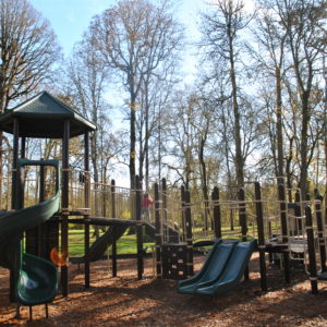
Stringfield Family Park

Posted on

3614 SE Naef Rd. Oak Grove, OR

Acres: 4.5

Amenities: Walking Trail, Picnic Facilities, Playground, Shelter, Restrooms, Parking

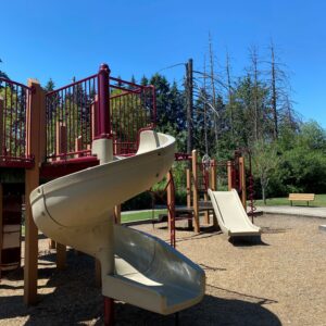
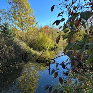
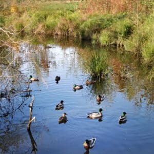
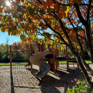
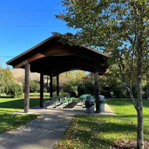
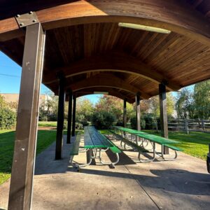
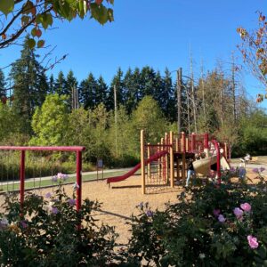
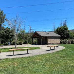
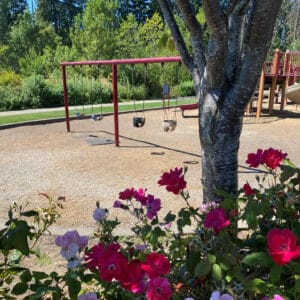
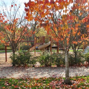
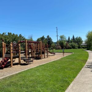
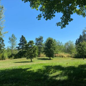
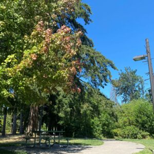
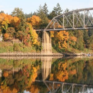
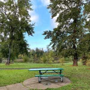
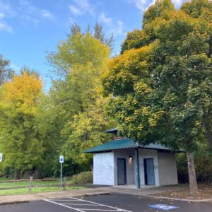
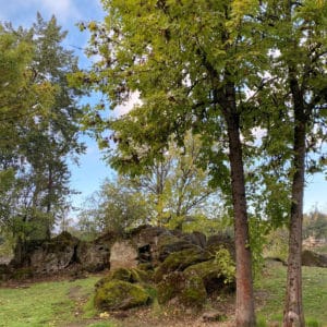
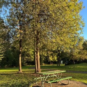
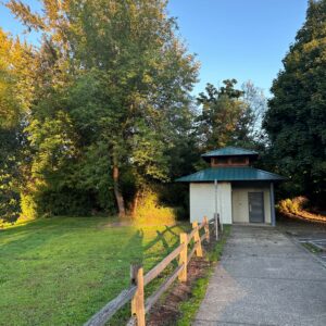
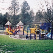
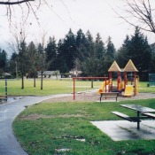
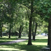
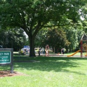
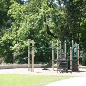
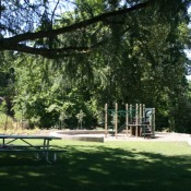
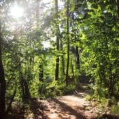
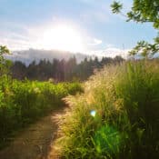
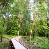
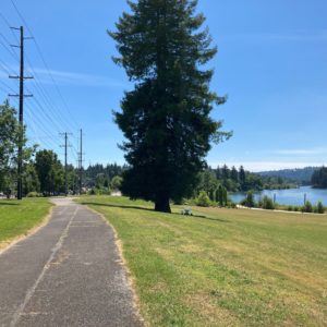
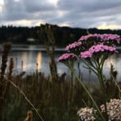
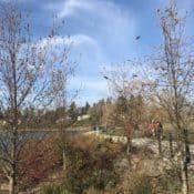
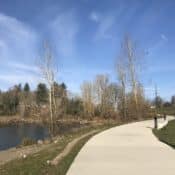
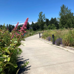
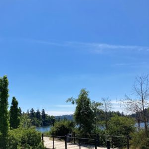
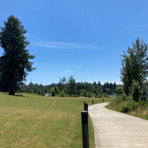
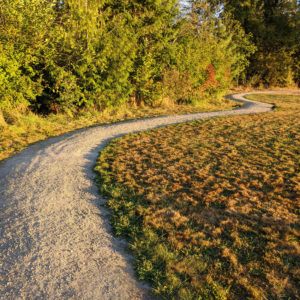
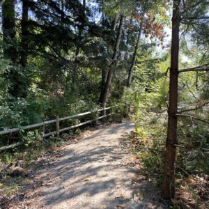
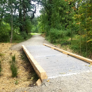
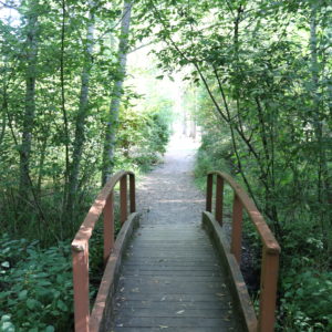
Stringfield Family Park is located in Oak Lodge and sits alongside the multi-use Trolley Trail. This community park offers recreational activities and opportunities to relax in a peaceful setting. An accessible walking path loops around the park, with benches to sit and rest along the way. The park includes natural areas and two bridges with views of a tranquil stream, making it a great location for bird watching and enjoying nature. The playground, restrooms, picnic areas and open lawn area make it a favorite destination for families, including those with young children. The park is beautiful through the changing seasons, with abundance of blooming flowers in the spring and summer, and vibrant displays of colorful leaves in the fall. A pollinator garden is located on the north end of the park, alongside S.E. Naef Rd.


Rivervilla Park

Posted on

925 SE Courtney Rd. Oak Grove, OR
Acres: 5
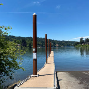
Amenities: Picnic Facilities, Parking, Fishing Dock, Trails, Restrooms

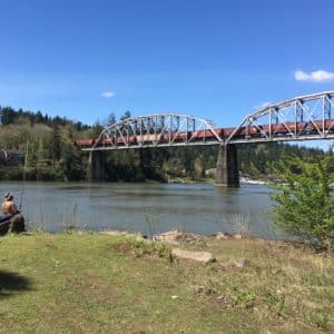
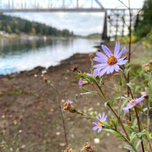
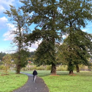
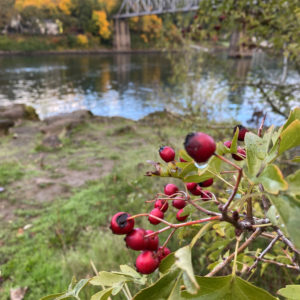
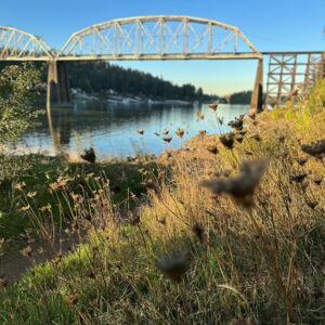
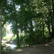
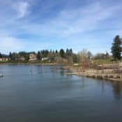
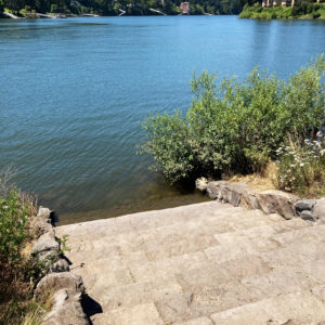
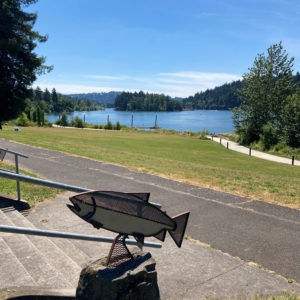
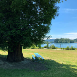
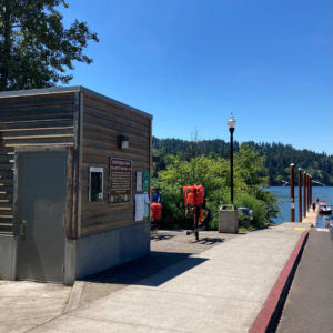
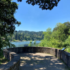
Situated along the Willamette River in Oak Grove, this hidden gem offers direct access to the water for dipping your toes or casting a line. Take a stroll along the path, have a picnic in the park and enjoy the surrounding beauty through each changing season.


Risley Park

Posted on

2350 SE Swain Ave. Milwaukie OR

Acres: 5

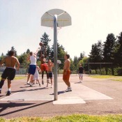
Amenities: Basketball, Tennis, Walking Trail, Picnic Facilities, Playground, Restrooms, Parking


Trolley Trail

Posted on

About the Trolley Trail:

Milwaukie/Oak Grove/Jennings Lodge, OR

Acres: 29

VIEW THE MAP

Amenities: Walking Trail, Restrooms, Parking

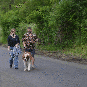
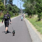
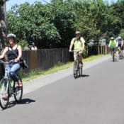
This 6-mile trail is a community treasure waiting for you to explore on foot or on your bike! It’s a multi-use paved and gravel trail.

The Trolley Trail is the name of the old Portland Traction Company streetcar line right-of-way that stretches between the cities of Milwaukie and Gladstone. North Clackamas Parks and Recreation District (NCPRD) and Metro purchased the right-of-way in 2001 to be developed into a regional multi-use trail using a voter-approved bond measure designed to protect nature and help people enjoy it. The Trolley Trail has been flagged in the region’s long-term plans since the early 1970s. Over the years, community groups and residents have rallied to bring it to life.

The six-mile Trolley Trail connects neighborhoods, schools, parks, retirement communities and business districts between Milwaukie and Gladstone and completes a missing link in Metro’s regional trail system. This bike and pedestrian trail follows the historic streetcar right-of-way that ran in the area from 1893 until 1968.

The idea of developing a trail within this historic right-of-way has been a dream in the community for decades. The trail now connects with existing bike lanes in Milwaukie and Gladstone to complete an essential link in Metro’s regional trails system. Ultimately, the trail will be part of a continuous 20-mile loop connecting Portland, Milwaukie, Gladstone, Oregon City and Gresham.

In October, 2020, a bike repair station was installed along the Trolley Trail in downtown Oak Grove. The repair station includes all the tools necessary to perform basic bike repairs and maintenance. Screwdrivers, Allen wrenches and box wrenches are provided so that cyclists can change a flat tire, adjust brakes and put air in tires. Learn more about the public-private partnership that made this project possible, here.


In February of 2023, NCPRD contracted with Alta Planning + Design to develop a safety audit for the Trolley Trail. The goal of this project was to evaluate the safety of the Trolley Trail from the south end of SE Washington Street at Milwaukie Bay Park in Milwaukie to Glen Echo Avenue in Gladstone. They looked at trail conditions and user experience. The report provides key takeaways or observations of safety issues as well as a toolkit of best practices and potential safety improvement options to respond to specific safety issues. Click here to view the Trolley Trail Safety Audit Summary.
Spring Park

Posted on

SE Sparrow St at SE 19th Ave. Milwaukie, OR

Hours: Opens half hour before sunrise and closes half hour after sunset
Acres: 6.9
Trail length: 0.6 miles roundtrip
Amenities: Walking Trail, Picnic Facilities, Playground, Limited Street Parking
Accessibility: See more information provided by AccessTrails
Public transit: MAX Orange Line [3/4 mile] and TriMet bus 34

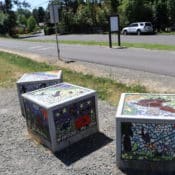
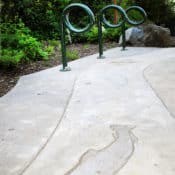
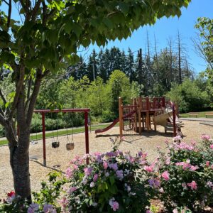
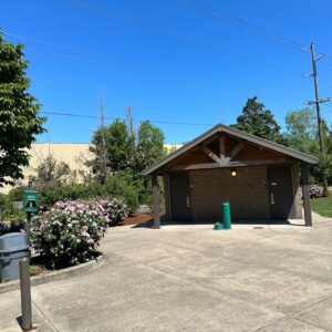
Nestled next to the Willamette River, Spring Park Natural Area is a hidden gem in a quiet residential neighborhood in Milwaukie. Entering the park, you’ll find a small playground, picnic benches and bike racks and art features. A path of compacted crushed rock, boardwalk and overlook area provide visitors access to the surrounding wetlands, without endangering sensitive habitat and wildlife areas.

At the end of the trail is a seasonal land bridge to Elk Rock Island, which provides a rocky passage to the Island when water is low. Water levels may fluctuate and rise depending on the time of year, weather conditions, and changing tides in the Willamette River, cutting off access to the land bridge that leads to and from the Island. Please be aware of changing water levels and proceed with caution. See Willamette River tide times.

Spring Park and Elk Rock Island are open again, following a temporary closure for wildfire restoration and repair. Learn more here. 


Sara Hite Memorial Rose Garden

Posted on

5440 SE Kellogg Creek Dr. Milwaukie OR

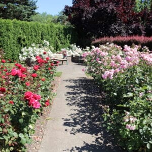
Named for a former Milwaukie Center Director, the one-acre formal Sara Hite Memorial Rose Garden is located immediately south of Milwaukie Center and the entrance to North Clackamas Park.

Garden Features

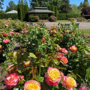
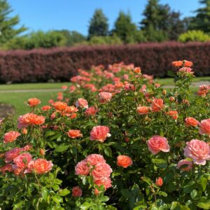
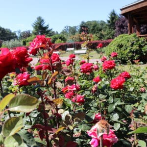
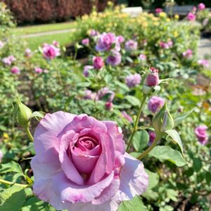
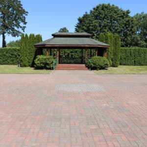
The Rose Garden’s central red brick plaza is surrounded by manicured rose beds at ground level and framed at four corners by raised beds, walkways and low plantings. The garden is available to rent for special events.


Milwaukie Bay Park

Posted on

1700 SE Jefferson St. Milwaukie, OR

Acres: 6.8 acres

Amenities: Boat Launch, Fishing, Restroom, Walking Trail, Parking

Milwaukie Bay Park is a scenic park near downtown Milwaukie along the Willamette River. It is located just off McLoughlin Boulevard between Kellogg Creek to the south and Johnson Creek to the north. The park features a lawn area, walking paths, restroom, natural areas, boat ramp, water access and views of the river.

In addition to the river, the creeks, and a burgeoning downtown, there are several local parks and natural areas nearby and significant local and regional transportation connections such as the Trolley Trail, bike and pedestrian routes, MAX light rail, TriMet bus transit, and Oregon 99E.

Boat Launch
The boat dock at Milwaukie Bay Park is back in place and open for public use. A portion of the dock is removed each year for winter storage to prevent damage from debris. Learn more and check for updates.

Milwaukie Bay Park Project
North Clackamas Parks & Recreation District and City of Milwaukie are in the process of updating the final design to complete Milwaukie Bay Park. The final planned improvements, will create new amenities and recreational opportunities, including a children’s play area, water feature, art and social gathering areas and amphitheater. Learn more about the Milwaukie Bay Park Project.


North Clackamas Park

Posted on

5440 SE Kellogg Creek Dr. Milwaukie, OR

Hours: Opens at 7 a.m. and closes half hour after sunset
Acres: 45
Trail length: 1.7 miles
Amenities: Baseball/Softball, Off-Leash Dog Area, Walking Trails, Picnic Facilities, Playground, Shelter, Overlook Areas, Horse Arena, Restrooms, Parking
Accessibility: See more information provided by AccessTrails
Public transit: Trimet bus #152 at *The Milwaukie Center

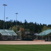
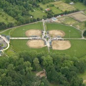
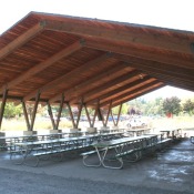
The largest park in the District, North Clackamas Park covers 45 acres of fields, waterways and groves of mature oak trees. The park provides unique recreational experiences for all visitors, and includes shaded picnic areas, a covered picnic shelter, softball fields, a fenced horse arena and a dog park. Additional amenities include two playgrounds, walking paths, a volleyball net and horseshoe pits. Located in Milwaukie, the park is situated next to the Milwaukie Center and Sarah Hite Memorial Rose Garden.

Camas Creek divides the park into north and south, with Mt. Scott Creek flowing west along the northern and western boundaries of the park. A network of trails and walking paths throughout the site provides connections to the many park amenities. Learn more about the newest soft-surface trail on the western edge of the park.

The park includes several natural areas and sensitive habitats, including a wooded area of Oregon White Oak and Oregon Ash, and wetland and non-wetland riparian plant communities. With its mosaic of woodlands, lawns, streams, and wetlands, North Clackamas Park provides habitat for a variety of wildlife species. Overlook areas provide the perfect place to birdwatch and enjoy nature.


Ann-Toni Schreiber Park

Posted on

6717 SE Clackamas Rd. Clackamas, OR

Acres: 6.7

Amenities: Baseball/Softball, Basketball, Soccer, Playground, Restrooms, Parking


Pioneer Park

Posted on

Pioneer Park is located at the corner of 152nd Drive and Pioneer Drive in Clackamas, OR.

This 2-acre neighborhood park includes a playground with climbing boulders, logs and swings, a basketball court, picnic shelter and tables, a perimeter trail and open play areas. The park was built by Icon, the developers of the adjacent new Hidden Falls neighborhood. North Clackamas Parks and Recreation District will maintain the park.

Pioneer Park is the last of the six Sunnyside Village parks that were identified through the Sunnyside Village Plan, adopted within the Clackamas County Comprehensive Plan in 1993. The plan required the purchase and development of these parks by NCPRD. Funding of these parks was provided by a special park acquisition fee paid by developers in the community. The other five parks are; Pfiefer, Village Green Park, Sieben, Summerfield and Ashley Meadows.